Ship Channel & Bay Crossings
The channel is the region's main street — a deep-draft corridor carrying the nation's crude exports past refinery row to the new terminals at the bay's mouth — and its corridor work is the signature Coastal Bend assignment: utility crossings and parallels threading a shoreline of facilities, each with the port authority's coordination, navigation interests on the working water, facility fence-line rules, and pipeline neighbors at gateway density. Main-channel crossings themselves are major-rig engineering framed honestly at the desk; the corridor's everyday diet is the dense coordination work along its banks.
The bays scale the doctrine outward: the causeway corridors — the island's JFK approach, the Portland shore's US 181 reach, Aransas's coastal links — concentrate utilities where land meets water, and their crossings run the marine program under the estuary's stack: state coastal and water-quality review, seagrass and habitat protections in bays the fishing economy depends on, and rookery-season awareness on the Aransas shore, where the whooping cranes winter within sight of the work.
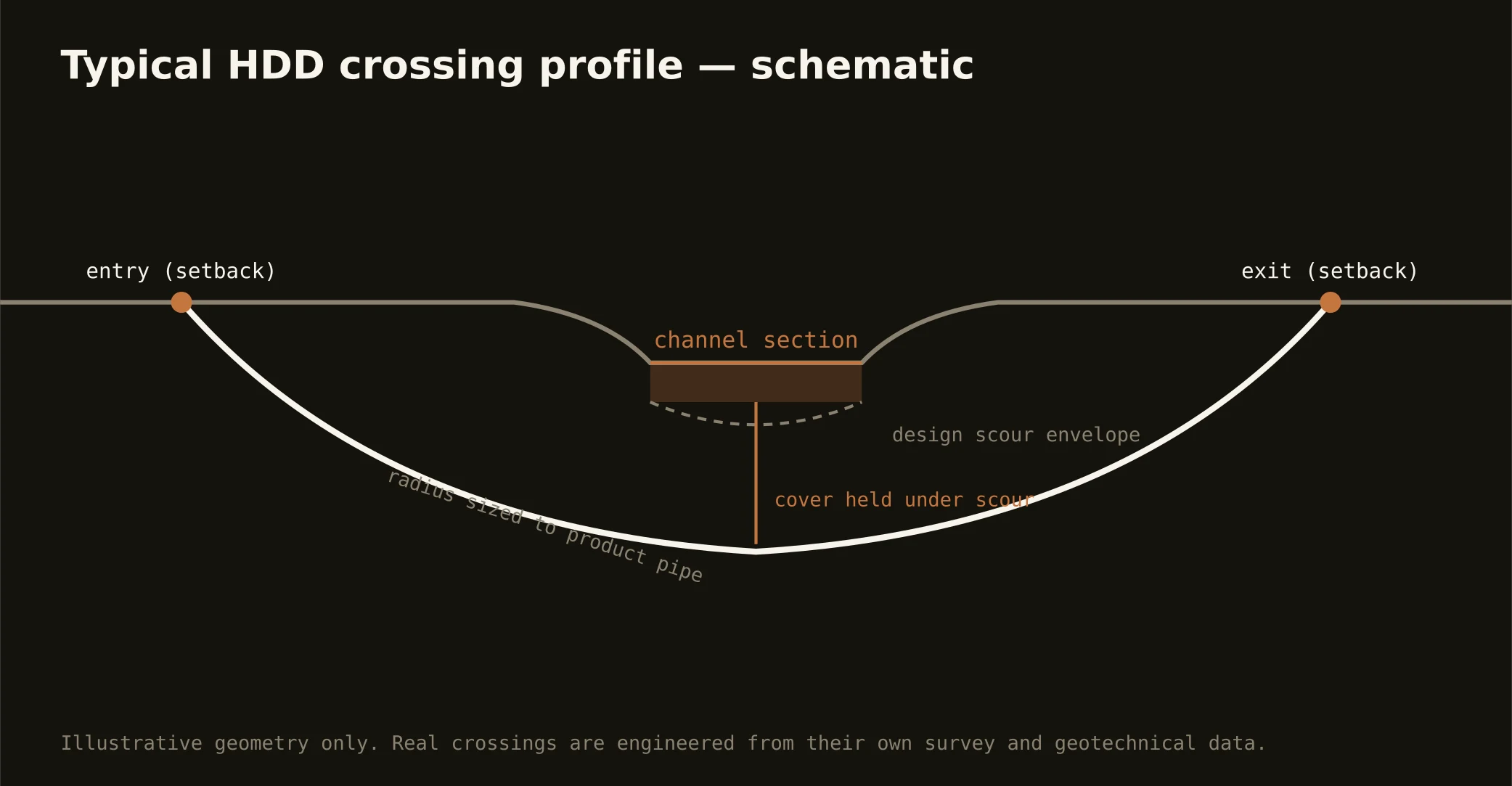
Technically the crossings ride the region's two-section story: clay approaches trading to bay muds and sands in the sag, buoyancy and dewatering at the shoreline, and fluid discipline at estuary grade throughout — containment both banks, conservative pressures, and the response plan written before the pilot turns, because a return into these bays answers to agencies and to a coast that watches its water.