Directional Drilling in Corpus Christi
The nation's crude-export capital on a windy bay — refinery row on one shore, new steel and plastics across the channel, islands at the end of every causeway, and clays that crack open every drought. Coastal Bend HDD is industrial-port drilling in windstorm country — and it's ours.
HDD is the whole job here
The Coastal Bend's ground is a two-part harmony. The mainland runs deep, rock-free clays — the coastal prairie's heavy, expansive soils that shrink into open cracks through the long droughts and swell shut with the rains, working everything shallow a little each cycle. They drill smoothly for crews whose fluid chemistry respects sticky, reactive soil, and they make fused pipe the region's obvious product choice. The shore trades to the marine section: barrier-island sands down Padre and Mustang, bay muds and tidal flats along the margins, and saturated ground wherever the causeways touch down — buoyancy, dewatering, and estuary-grade containment territory. The quote names which part of the harmony your alignment sings in.
The economy is the channel's: Corpus Christi has become America's leading crude-oil export gateway, and the ship channel's corridor concentrates the region's muscle — refinery row on the inner harbor, the export terminals, and across the water the north shore's industrial surge, where steel, plastics, and LNG projects turned San Patricio's bayfront into one of the Gulf's busiest construction coasts. Utility work in the corridor is industrial-grade by definition: facility safety cultures, pipeline neighbors at export-gateway density, rail serve, and marine-adjacent conditions, all coordinated before the rig rolls.
And the wind is a co-signer on everything: this is windstorm-code country, hurricane-tested within recent memory on the Aransas shore, with hardening programs and coastal design standards baked into the region's habits. Behind it all sits the network desk — 50,000+ boring calls answered, ~10,000 crossings quoted, 2,000+ drilled — pricing Coastal Bend scope with the clay cracks and the channel both in the math.
Fiber-Optic Boring
Terminal and plant duct, base-adjacent laterals, and FTTH across the bend.
Electrical Duct Boring
Feeders for refinery row, the north-shore surge, and a windstorm-hardened grid.
Water & Force-Main Boring
Pressure pipe for a region building new water while renewing the old.
Ship Channel & Bay Crossings
The signature Coastal Bend bore: the export gateway's corridor and the causeway shores.
Road & Highway Crossings
City, county, and TxDOT crossings — from SPID's frontage to the causeway approaches.
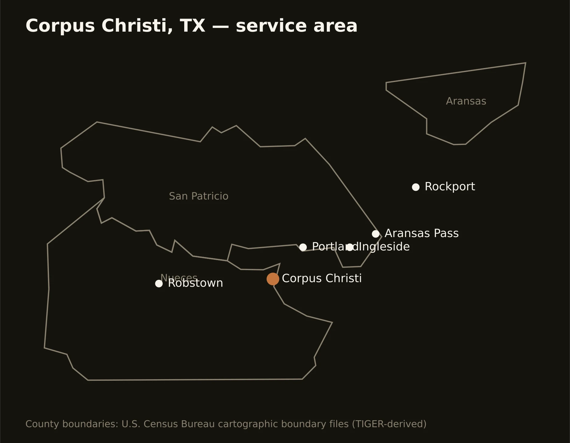
Three counties around the bays — Nueces with the city, the port, and the island's long arm; San Patricio carrying the channel's booming north shore from Portland to Ingleside; and Aransas holding the fishing-and-rookery coast at Rockport. Full county list on the service-area page.