How Directional Drilling Works in Coastal Bend Ground
Two sections: prairie clay and marine shore
The bend's ground splits at the waterline. The mainland is coastal-prairie clay country — deep, rock-free, expansive soils that crack open in drought and swell with the rains, moving shallow infrastructure seasonally and rewarding tuned fluid chemistry, active-zone-aware depths, and fused products. The shore is the marine section — barrier sands on the islands, bay muds and flats at the margins, saturated ground at every causeway foot — where the program becomes buoyancy math, dewatered pits, and estuary-grade containment. Neither section is difficult for crews who name it; both punish the quote that averaged them.
The corridor: export-gateway coordination
The channel's corridor is the region's defining workplace: refinery row and the terminals on the south shore, the steel-plastics-LNG surge on the north, pipeline density worthy of the nation's crude gateway, rail serve throughout, and the port's coordination knitting it together. Corridor work is scope-first work — facility safety programs, operator crossing standards, marine-adjacent conditions, and navigation interests all named at the desk before pricing — and the contractors who thrive here are the ones whose quotes arrive already knowing the neighborhood.
The sequence, Coastal Bend edition
The bones are standard — locates plus private designating, potholes on every claimed utility, pilot on profile, ream to about one and a half times the product, pull, restore. Bend bends: fluid tuned by section — clay chemistry inland, marine program at the shore; windstorm-season staging discipline; corridor safety protocols where the channel applies; habitat awareness on the Aransas shore; and restoration that treats prairie lawns, island sand, and refinery-gate pavement as the different surfaces they are.
Who owns what you're crossing
The cities run their own ROW counters; three county departments cover the roads between; TxDOT permits the state system, SPID, the harbor approaches, and the causeways. The port coordinates the channel's corridor with navigation interests on the water; facility owners and pipeline operators govern their ground at gateway density; the estuary's coastal and habitat protections govern the bays and the rookery shore; the naval air stations bring federal manners to their orbit; railroads permit their serve. The quote names every owner on your alignment — near the channel, expect the list to be the project.
Straight answers
Will you hit rock on my bore?
No — the coastal plain didn't stock any at utility depth, and the islands are sand through their working section. The honest cautions are the bend's own: reactive clay that wants tuned fluid, marine ground that wants buoyancy math, and a corridor where the second authority is standard. The quote prices the real conditions.
How deep do bores run under Corpus Christi streets?
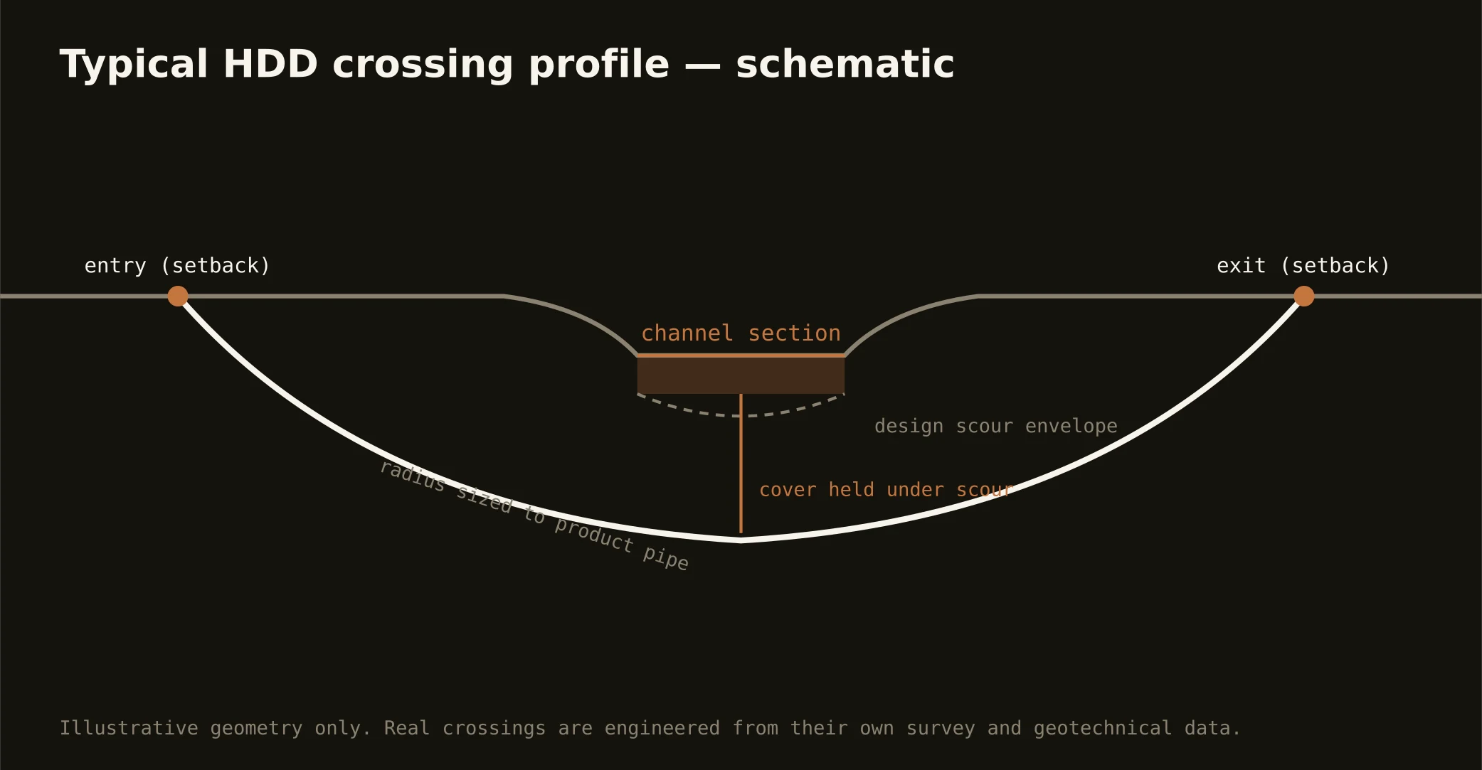
Cover follows the owning authority's standard and sits below everything potholed on the alignment — with depths inland chosen mindful of the clay's active zone, and channel- and bay-side crossings running to the port's and estuary authorities' criteria. The bore plan states your number and your section before mobilization.
Does hurricane season change the schedule?
It disciplines it: this coast rebuilt Rockport within memory and plans accordingly — staging stays storm-aware through the season, marine work watches the Gulf, and the rebuild surges after a hit compress timelines the network's scale is built to meet. Windstorm country plans around its wind; so does the trade that serves it.
Ready to put a number on a real crossing? Send the scope — a person prices it.